Fairlie to Awamoko - 6/02/2012 to 8/02/2012
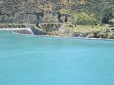
For those who follow Roger’s GPS downloads you may be puzzled by our movements on the 5th and 6th of February. Over a 24 hour period we went from Fairlie to the north end of Lake Opuha, then to the south end, back to Fairlie and then back to the south end of the lake. There is a perfectly good reason and it wasn’t just to see the Timaru Rowing Club training.
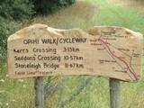
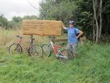
For those who have seen pictures of the rear of our bus you would have noticed the two features on the back. Some may call them bikes; I think they are just a hindrance for getting things out of the boot. Roger however has plans to bike the Otago rail trail. In order to do this one has to be a little bit fit. Fairlie, just happens to have an 11.5km cycle trail with 25 geocaches hidden on it. Not wanting to be over enthusiastic we settled for 8 geocaches. Apart from a bit of mud and non-ford crossing bikes the ride was very pleasant and sheltered from the weather. Unfortunately the trail is not a loop track (male designed) and we had to turn around and bike back.
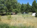
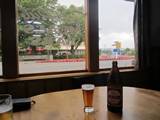
Four hours later we arrived back in Fairlie somewhat sore; even my new super-padded bike seat and all those “straight to the thighs” slices didn’t help. The beer and wedges at the Fairlie pub did provide temporary relief hence the reason we only drove 15 kms back to the same lake we parked at the night before.
Geocaching not only takes you to interesting places but it can also widen your knowledge. We have been to Timaru before and knew it as the home of the Miss Caroline Bay competition and carnival, Hilton Haulage and Grant Dobson. Not all geocaches have buried treasure (caches) to find. Some are virtual or earth caches which normally take you to a landmark and you are required to gather information at the scene or research it later in order to answer questions. On completing a virtual cache at a limestone kiln I am now aware that the area has a unique bluerock caused by Mt Horrible erupting many years ago. I know who started the port here and why and that the same port and railway were supported in the early years by lime, sand and mudstone mining. Really useful information - I must send the cats a postcard about it.
Besides our GPS, we have paper maps which have bold names drawing our attention. Roger liked Hunter and I liked Hilton thinking possibly that it is where Hilton Haulage got its name. We diverted to these towns only to find that they consisted of two houses, their occupants probably being related. Quite an anticlimax really! There should have been a sign, “Hilton, population 6”. I guess Paris Hilton won’t be coming by any time soon to visit her cousins.
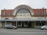
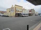
Waimate was a whole different story. It was developed in the 1850’s with big wide streets and lots of parks, churches etc in anticipation of it becoming a thriving European settlement. One assumes it didn’t take off as the population at the last census was only 7,206. However their ancestors did leave them a legacy of some impressive heritage buildings. The parks, forest walks and rivers make it a lovely little retirement town. For the slightly racist, according to Wikipedia it has “the fewest Maori people per district in New Zealand”. Tuesday night we are parking on a lovely NZMCA owned property, with a book exchange fridge.
Roger and I appear to be letting the NZMCA team down. On placing our recycling of 1 beer bottle and 1 water bottle in the recycle bins I noticed the clear bottle bin was overflowing with empty gin, whiskey and rum bottles, not to mention the brown and green bottle status.
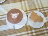
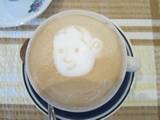
We went into Waimate to find the café that we think Aunty Liz suggested and what a treat. The Malaysian owner of Artrio Art Café describes every cake and savory to you and even asks how you would like your coffee beans roasted. Your order comes with two additional sorts of complimentary cookies and a cup of green tea. My hot chocolate came with a bear face in the frothy top and Roger’s had a boys face (pictures attached). Waimate, a special place where people have fences made of car bonnets, place name signs in their backyards, fords (crossings) instead of bridges, museums with things like 4,000 model cars and shops with really old things in them for sale as if they were still fashionable. Not quite as strange as Kurow that had shops that weren’t open, with heaps of junk that wasn’t for sale. The sign in the window said it was to make Kurow look busy, not dead.
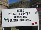
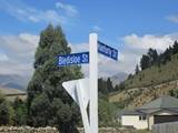
If you are thinking Kurow sounds familiar then think Richie. Yes, NZ’s great All Black captain played for Kurow as a kid. It is hard to believe such small towns keep producing great rugby players. I am not sure if the streets were named after Richie became a local hero or before as having a Bledisloe St and Ranfurly St is too much of a coincidence. We were lucky to see the Richie monument as we drove through town on our way to the Benmore Dam because on our way back they had started to dismantle it. A first for us, we normally arrive before an event or after it.
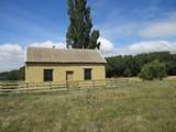
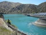
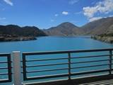
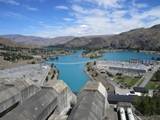
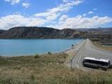
After visiting a cob cottage at Hakataramea we set off on a mission for Roger to partially experience the great Hydro Power Station tour of the South Island, he hasn’t suffered enough obviously. We visited the Waitaki Dam, Aviemore Dam and the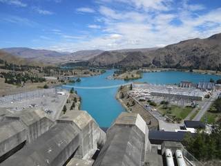 very impressive Benmore Dam, but unfortunately the inner workings were closed for upgrades. Benmore is NZ’s largest man-made earth dam and the second largest generator of hydro power. In fact all of the power goes to the North Island <hmmm, thinking large cutting implement>. The guy in the information centre is one of the few people we have met who knows where little Lake Karapiro is; he turned down a job there. Hey but size doesn’t matter, Benmore may generate more power, but Karapiro has the most expensive power.
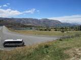
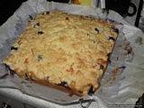
Unfortunately we didn’t get to see any Maori rock drawings as they painted them on sandstone which has recently fallen away. We did however find time to bake a blueberry crumble cake. Wednesday’s camp is a NZMCA property at the Awamoko Domain in the middle of nowhere. It just so happens that two of the three motorhomers there are geocachers.

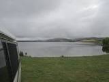
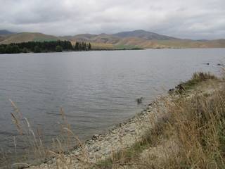 Lake Opuha
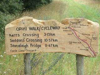 The Fairlie Cycleway
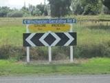
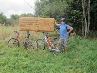 And now to return to Fairlie...
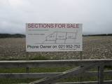
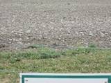
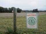
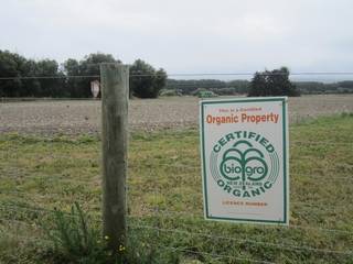 This property has a crop of rocks
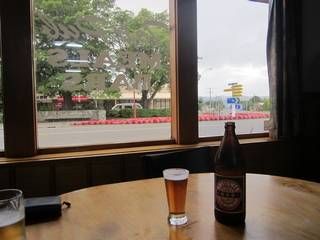 A fine finish to the bike ride
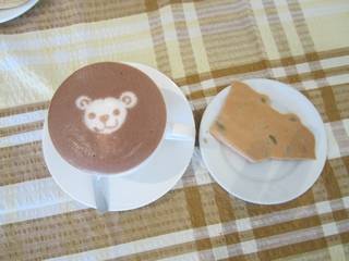 Hot Chocolate Art
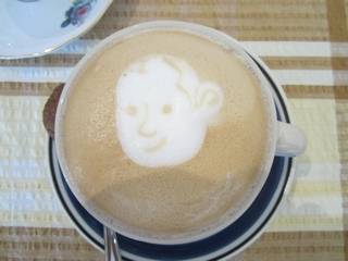 Flat-White Coffee Art
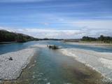
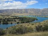
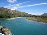
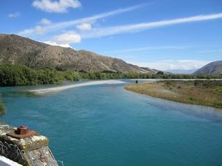 Waitai River from Kurow Bridge
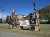
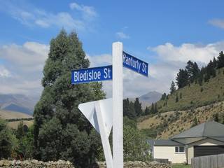 Kurow Street Signs
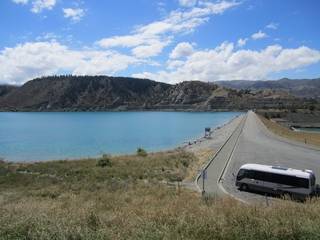 Lake Aviemore Dam
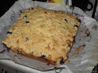 The Blueberry Bus Cake